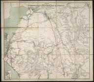

Map of the London and Southampton Railway .... from London to Woking Heath
- maker:
- John Richard Jobbins
Map of the London and Southampton Railway, Shewing the situation of the stations from London to Woking Heath. Illustrated with Five Views from Original Drawings / J.R. Jobbins (publisher of Holborn). 1838. [1 sheet (part col. litho.) folded to bound vol. Part of the John Phillimore Collection: cat. 1, 1838, page 13. The map and four lithographed views are bound in limp covers, the front of which bears the fifth view, the end of which bears a timetable and details of fares. The whole is rebound between hard covers. Map scale 2" : c. 2 3/4m.]
Details
- Category:
- Railway Maps & Plans
- Object Number:
- 2000-1391
- Measurements:
-
: 240 x 520 mm
- type:
- map
- credit:
- John Pillimore Collection


