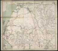

Map, paper, "Osborne's Map of the Grand Junction Railway Including the Liverpool and Manchester, Runcorn Gap & St. Helens, Newton & Wigan and Leigh & Bolton Lines", with inclinations graph, drawn and engraved by D. Smith, 71 Great Charles Street Birmingham, c.1837
Details
- Category:
- Railway Maps & Plans
- Object Number:
- 2008-8687
- Materials:
- paper
- Measurements:
-
overall: 344 mm x 600 mm
- type:
- map
- credit:
- British Transport Commission


