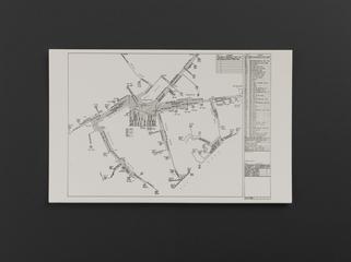
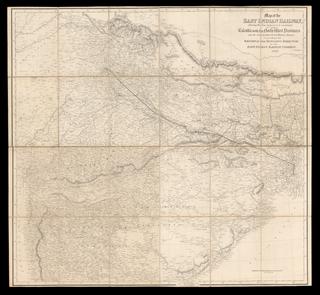
Map of the Lancashire & Yorkshire North Eastern Railway shewing its connection with the exisiting and projected lines of the district 1846
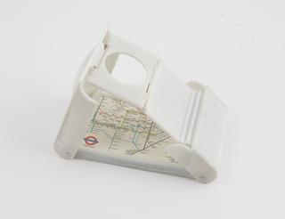
Map, Tyne and Wear Metro, route map of Metro system, 1989, vitreous enamel. Tyne & Wear Metro route map 1989
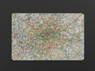
Motoring and Hiking map, Section D (Including Barnsley, Bradford, Chesterfield, Doncaster, Halifax, Harrogate, Huddersfield, Leeds, Mansfield, Newark, Sheffield, York) Scale 3 miles to an inch. Folded in card covers, by W. & A. K. Johnston Limited., Edinburgh and London. 1937. Motoring and Hiking map 1937
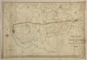
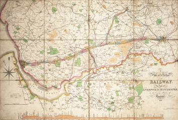
A plan and section of the railway from Liverpool to Manchester, in the county palatine of Lancaster 1829
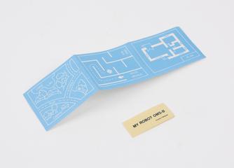
Tactile map, Braille, showing layout of York Railway Station prior to reorganisation for electrification of the East Coast Main Line, with brass plaque engraved 'This tactile map, to help our blind or partially sighted customers, was donated by the staff of this station from the £450 they won in the best large station competition in 1988'. Map, Braille, of York Railway Station 1988
Map, enamelled steel, `The Cornish Riviera', GWR, 1900-1940. Maximum sunshine. Englands health and pleasure resort. Chromo, Wolverhampton. Map, The Cornish Riviera 1900-1940
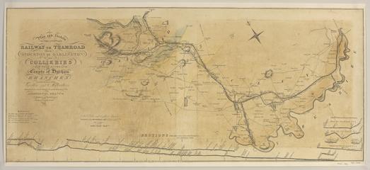
Plan and Section of the intended Railway or Tramroad from Stockton by Darlington to the Collieries near West Auckland 1822