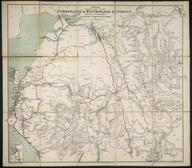

map of the island of Portsea
- Made:
- before 1883
Map of the Island of Portsea including Portsmouth, Southsea, Portsea and Landport with the Dockyard and other public establishments, showing line of South Coast Railway, and proposed line of Southsea Railway, with other annotations. Scale: 3"-5 miles. [?pre 1883].
Details
- Category:
- Railway Maps & Plans
- Object Number:
- 1998-10276
- type:
- map
- credit:
- British Rail, Clapham


