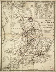
Coloured map of the Great Western Railway's routes, made by Thomas Kell & Sons, engravers and lithographers, of 40 King Street, Covent Garden, London, in 1896.
Details
- Category:
- Railway Maps & Plans
- Object Number:
- 2004-7201
- Materials:
- paper (fibre product) and linen (textile)
- type:
- map
- credit:
- Found in Museum