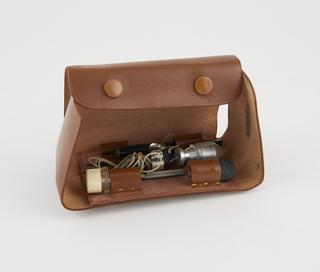
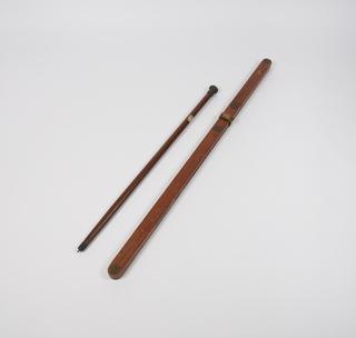
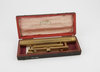
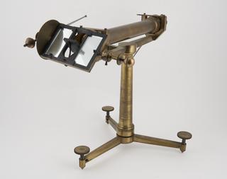
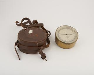
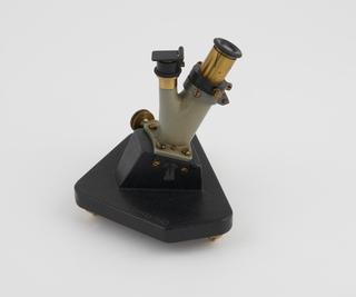
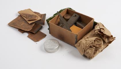
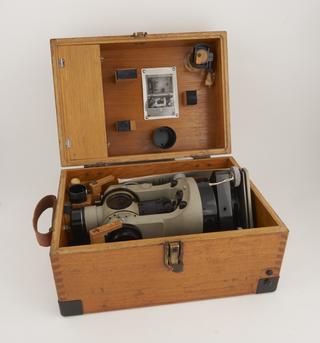
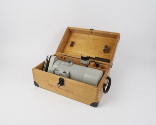
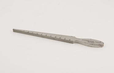
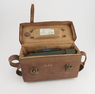
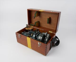
This impressive range of instruments charts the history of land measurement and map-making, from the 17th century up to more recent developments such as stereoplotting, remote measurement, GPS and map digitisation.
1750-1766
1663
1784
1990-1991
1600-1630
1791
1940
1795-1805
1775-1794
1755-1765
1995-1998
1971
1951-1960
1800
1851-1900
1750
1822
1958
1914
1960
1801-1850
1830
1930-1934
1840
1920
1901-1950
1950
1985-1992
1901-1930
1928
1970
1910
1968-1972
1850-1900
1810-1826