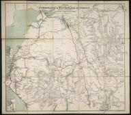

Philips' Railway Map of the British Isles showing the new Grouping System
"Philips' Railway Map of the British Isles showing the new Grouping System" 1923. With insets of the principal industrial centres.
Details
- Category:
- Railway Maps & Plans
- Object Number:
- 2006-7454
- Materials:
- paper (fibre product)
- Measurements:
-
overall: 192 mm x 113 mm x , ,
- type:
- map
- credit:
- Imperial College London


